Harnessing 3D Modeling to Enhance Operational Insights
Discover how advanced drone mapping transforms agriculture and industry.
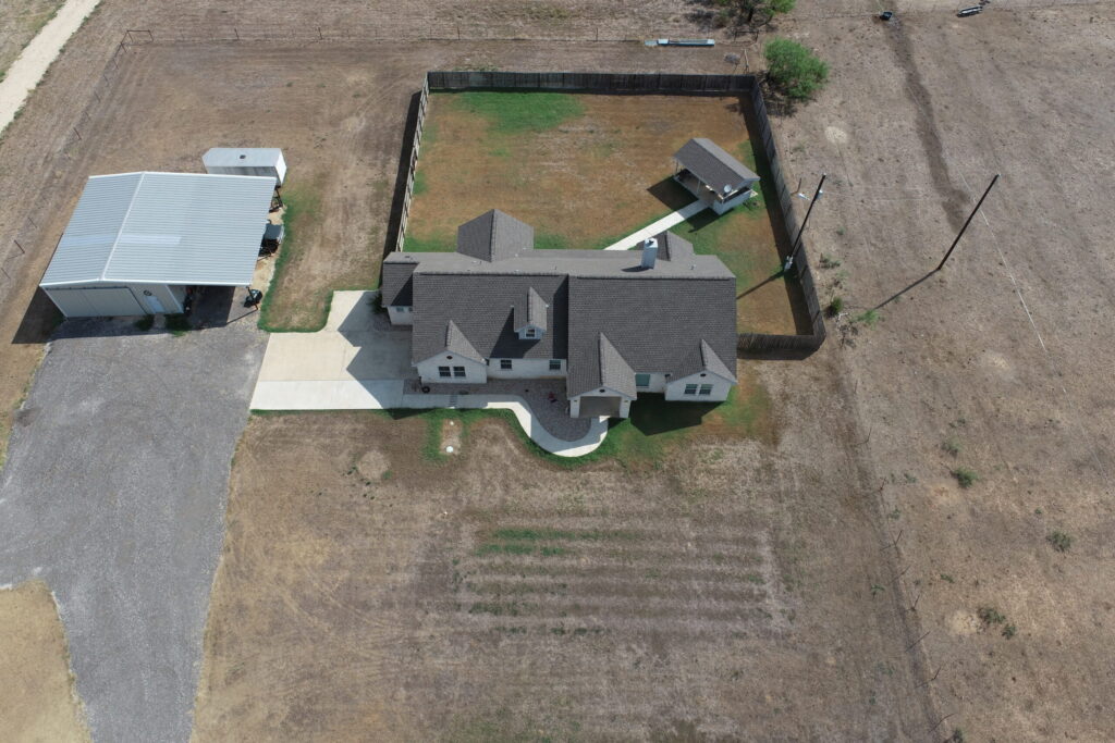
Enhance Project Accuracy with Precision Drone Mapping
AgriTex Drone Services is dedicated to delivering cutting-edge aerial solutions that optimize industrial and agricultural operations. Our commitment to innovation, reliability, and efficiency drives us to empower clients with detailed data and insightful analysis for smarter decision-making.
Discover Precision and Efficiency in Every Flight
AgriTex Drone Services delivers cutting-edge aerial solutions tailored to enhance agricultural and industrial operations, ensuring accurate data collection and impactful results.
- Advanced 2D and 3D Modeling for Detailed Analysis
- Multispectral Imaging to Optimize Crop Health
- Thermal Inspections That Identify Hidden Issues Quickly
- Comprehensive Monitoring for Construction and Stockpiles
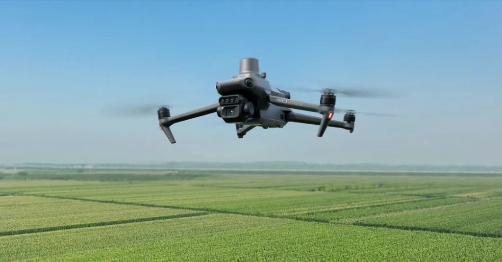
Revolutionizing Industrial Inspections with Precision Drones
Discover how our cutting-edge drone services transform agriculture and industry.
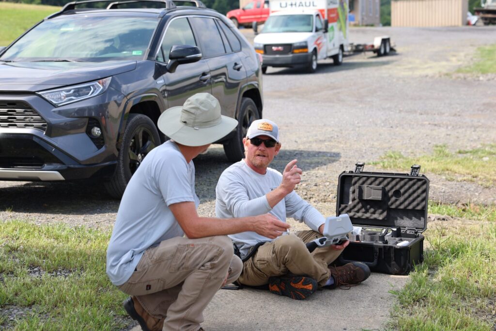
Advanced 2D/3D Modeling
Create detailed topographic maps and models for accurate analysis and planning.
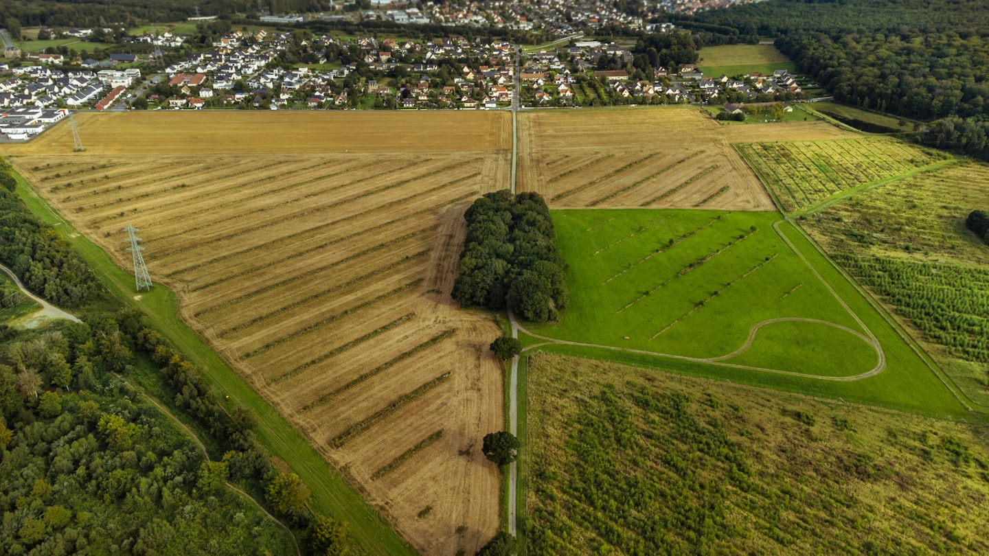
Multispectral Agricultural Analysis
Utilize multispectral imaging to monitor crop health and optimize yields effectively.
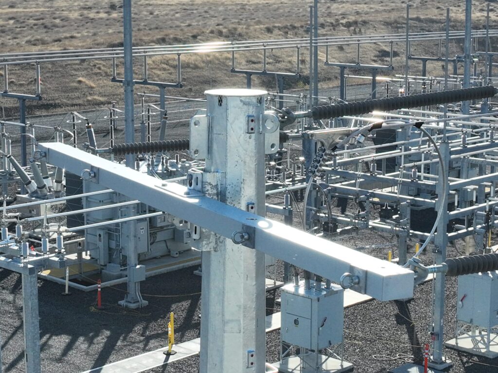
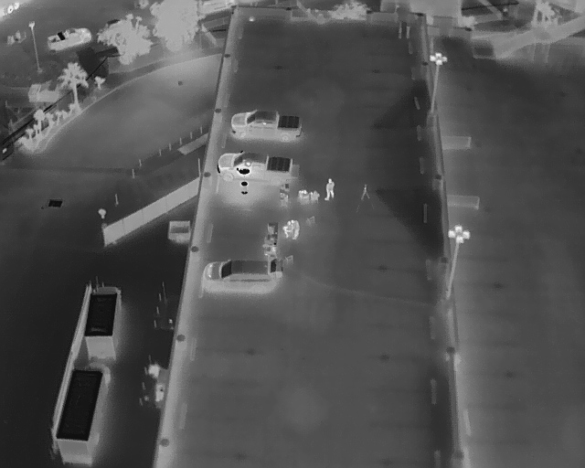
Thermal and Utility Inspections
Conduct thermal scans and utility checks to identify issues before they escalate.
Construction & Stockpile Monitoring
Track progress and inventory with precise aerial monitoring for your projects.
Comprehensive Drone Mapping
Deliver accurate, high-resolution maps tailored to your specific industrial needs.
Innovative Drone Solutions Tailored for Your Industry
Explore how AgriTex Drone Services tackles key challenges with cutting-edge aerial technology.
Precision 2D and 3D Modeling
Leverage detailed drone-generated models to enhance project planning and reduce costly errors.
Multispectral Agricultural Analysis
Utilize advanced sensors to monitor crop health and optimize yield with actionable insights.
Comprehensive Thermal and Utility Inspections
Detect issues early with thermal imaging and drone inspections, preventing downtime and losses.
Enhance Operations Using Precision Thermal Drone Surveys
Find our office locations, direct phone lines, and email contacts here, making it simple for you to connect with our expert drone service team for support or questions.