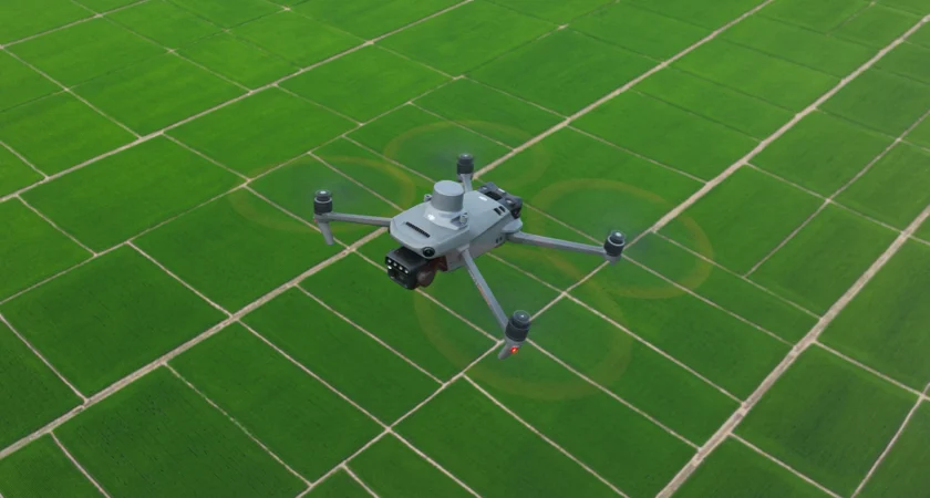
Innovative Drone Services Tailored to Agriculture and Industry
At AgriTex Drone Services, we are committed to delivering precise, cutting-edge aerial data solutions that empower agricultural and industrial sectors. Our mission is to enhance operational efficiency and decision-making through advanced drone technology, driven by integrity, innovation, and customer-focused excellence.
Service Overview
Discover how our drone technology transforms agriculture and industry through precise data and actionable insights.

Precision 2D and 3D Modeling
Generate accurate terrain and structure maps that enhance planning and decision-making for your projects.
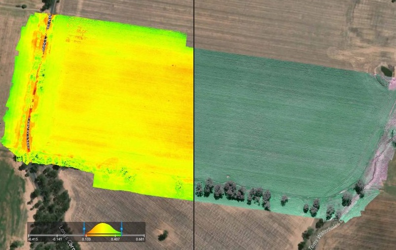
Advanced Multispectral Analysis
Utilize spectral imaging to monitor crop health, detect issues early, and maximize agricultural yields effectively.